View Scan
A new way to view and scan cities
ViewScan is a 360-degree visual geographic system that allows interaction with a virtual, panoramic model of the city. The system features a series of modules and tools that provide a comprehensive and consolidated view of the visual environment in real-time, resulting in greater control over information.

Tools and features


.png)


Allows virtual tours with features that give us the ability to MEASURE, CAPTURE and SELECT assets, add information and filter interactively. Allows integration with geographic information systems (GIS), as well as various types of transactional or business management systems.
Use cases
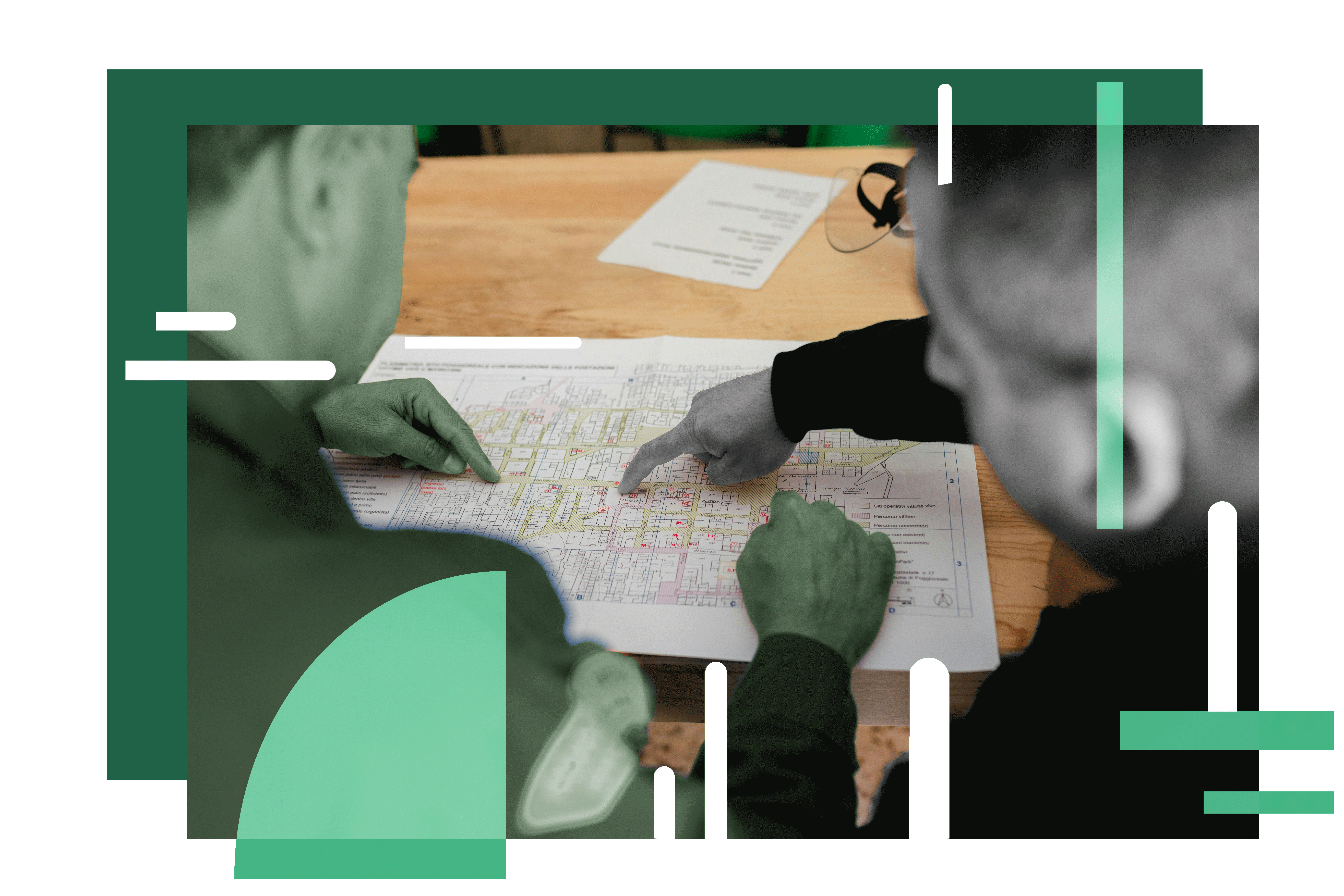
Cadastral Census
ViewScan supports the public registry process by storing information about each property and maintaining graphical records of all locations
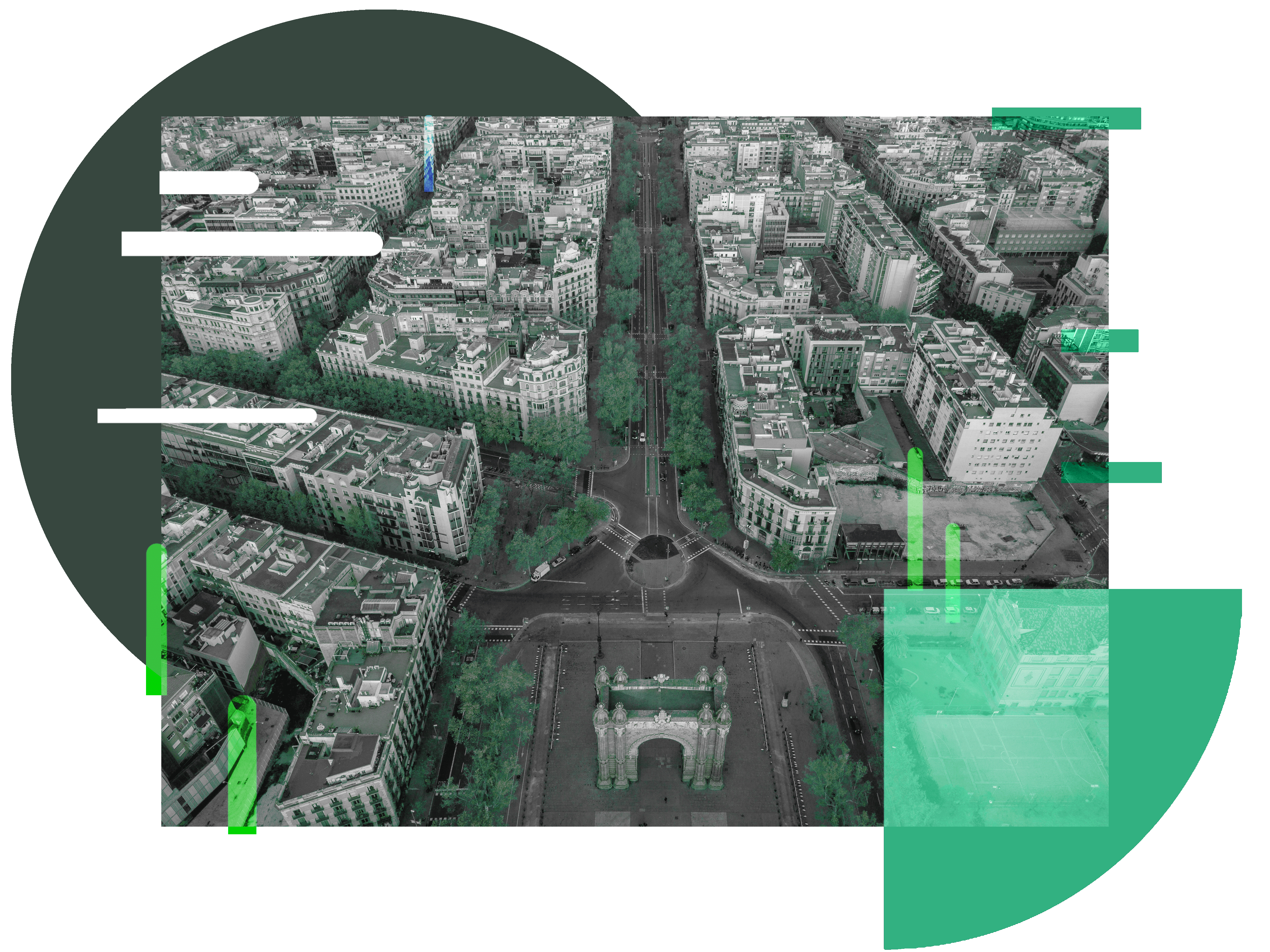
Urban planning
One of the main use cases of ViewScan is the study, diagnosis, and understanding of areas to carry out the creation and planning of new urban projects.
Geo-Inventory

An opportunity to maintain a recent and updated record of assets such as: advertising elements, toll structures, traffic signs, safety equipment, cameras, and sensors.

Traffic
Measuring traffic levels, locating the need for traffic lights and measuring road vibrations.

Construction works progress
An opportunity to maintain a recent and updated record of assets such as: advertising elements, toll structures, traffic signs, safety equipment, cameras, and sensors

Business Intelligence
Better and greater data will allow geographic analysis to improve decision making on a variety of issues including: asset location, construction site management, interest points and traffic influencing factors.